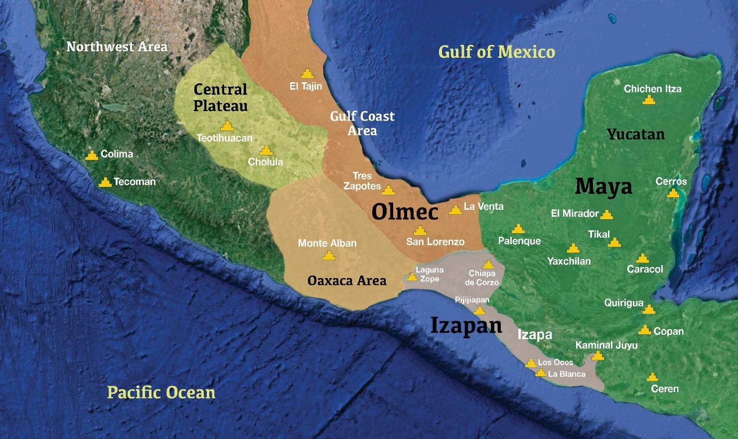
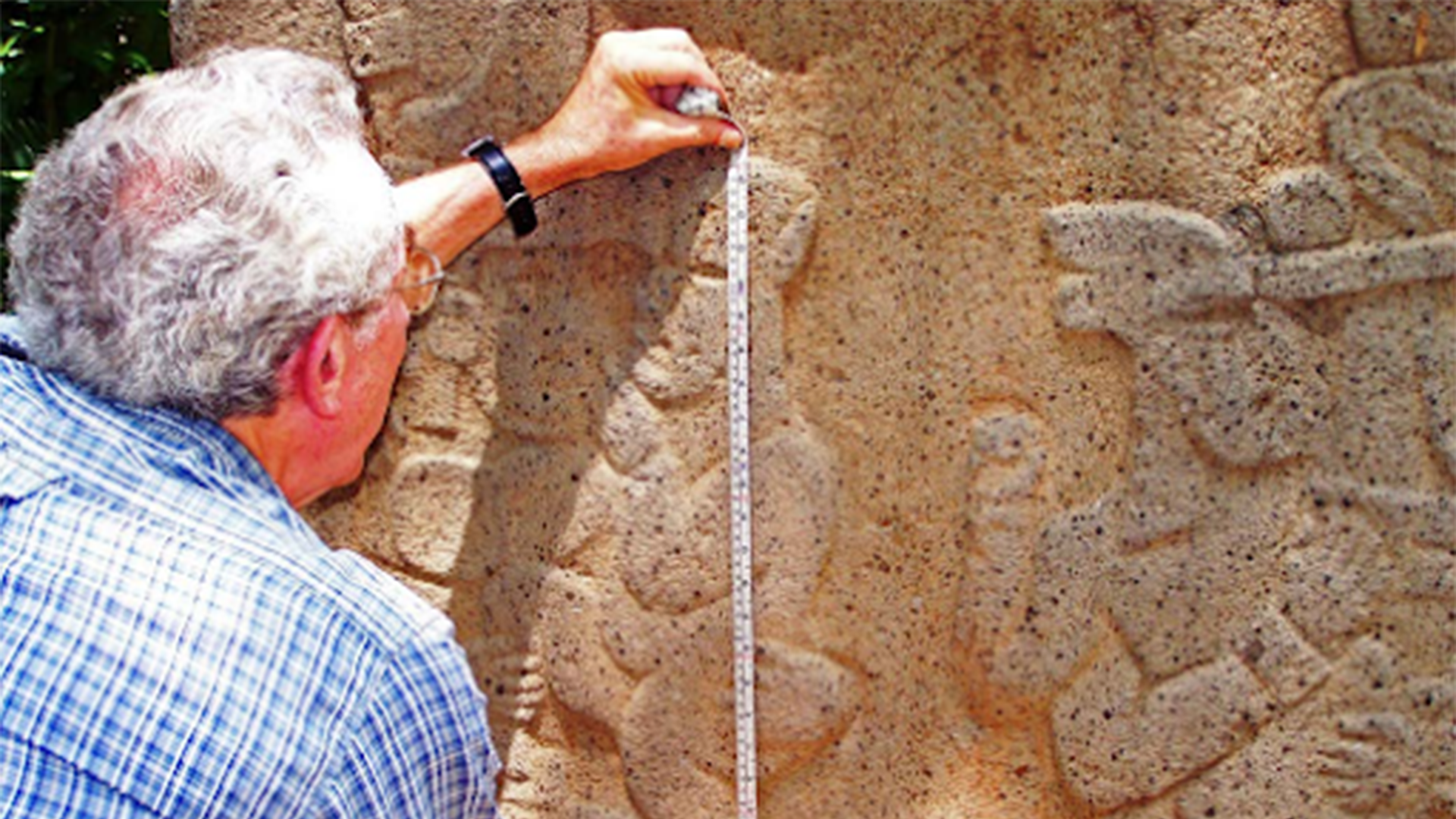
The antiquities of Tikal, Guatemala were built between 600 BC and 900 AD and were oriented to the 4 cardinal directions, and dedicated to the great East and West Temples for the rising and setting sun respectively. At the end of the Late PreClassic, the Izapan style art and architecture from the Pacific Coast began to influence Tikal as demonstrated by sculptures from the acropolis and early murals at the city. The builders of Tikal used the Babylonian cubit from the Middle East, and additional measurements to construct pyramids and stelae. Fig. 1 Tik’al in modern Mayan is the ruin of an ancient city, which was likely to have been called Yax Mutal, found in a rainforest in Guatemala. It is one of the largest archeological sites and urban centers of the pre-Columbian Maya civilization. It is located in the archeological region of the Petén Basin in what is now northern Guatemala.
Tikal was the capital of a conquest state that became one of the most powerful kingdoms of the ancient Maya. Population estimates for Tikal vary from 10,000 to as high as 90,000 inhabitants. Though monumental architecture at the site dates back as far as the 6th century BC, Tikal reached its apogee during the Classic Period, c. 200 to 900 AD. During this time, the city dominated much of the Maya region politically, economically, and militarily, while interacting with areas throughout Mesoamerica such as the great metropolis of Teotihuacan in the distant northern Valley of Mexico which had embassies in Tikal.
There is evidence that Tikal was conquered by Teotihuacan in the 4th century AD after many wars with neighboring communities. Following the end of the Late Classic Period, no new major monuments were built at Tikal and there is evidence that elite palaces were burned. These events were coupled with a gradual population decline, culminating with the site’s abandonment by the end of the 10th century.